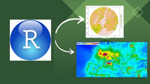
Spatial data and geographic information systems (GIS) in R
- Views: 106


Price: 59.99$
R programming is becoming increasingly popular every single day. The intersection between spatial data and programming is an extremely valuable skill that an GIS analyst, researcher, or teacher should know how to use. This comprehensive course is tailored for beginners, providing a solid foundation in spatial data analysis, visualization, and interpretation. Discover the fascinating intersection of data and location through user-friendly lectures, hands-on exercises, and engaging projects. Our expert instructors will guide you step-by-step, ensuring you feel confident working with Geographic Information Systems (GIS) and exploring diverse spatial datasets. Unravel the mysteries of spatial patterns, relationships, and trends as you delve into real-world applications across industries such as urban planning, environmental studies, marketing, logistics, and more. Gain practical skills that are in high demand and open up a world of career opportunities. No prior experience is necessary – just bring your enthusiasm to learn and an eagerness to harness the power of spatial data. By the end of this course, you’ll be equipped with the essential tools to tackle spatial challenges and confidently venture into more advanced data science pathways. Don’t miss out on this golden opportunity to kickstart your spatial data science journey! Enroll now and unlock a world of possibilities in this dynamic and rewarding field. Discover how spatial data can shape the future and revolutionize the way we interpret information!
You Might Like